TU Dresden’s
Groundwater Observatory
Explore our groundwater observatory to engage in research, teaching and collaboration opportunities
25+
Digital Dashboards
10+
real-time datasets
18+
years of data
100%
free and Open access
Welcome to our site
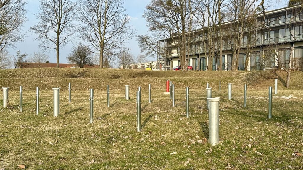
The TUD Groundwater Observatory is a groundwater test field established and managed by the Institute of Groundwater Management at TU Dresden since 2008. The site offers excellent teaching and research opportunities in applied hydrogeology, enabling the demonstration of various groundwater monitoring and aquifer testing techniques.
Research
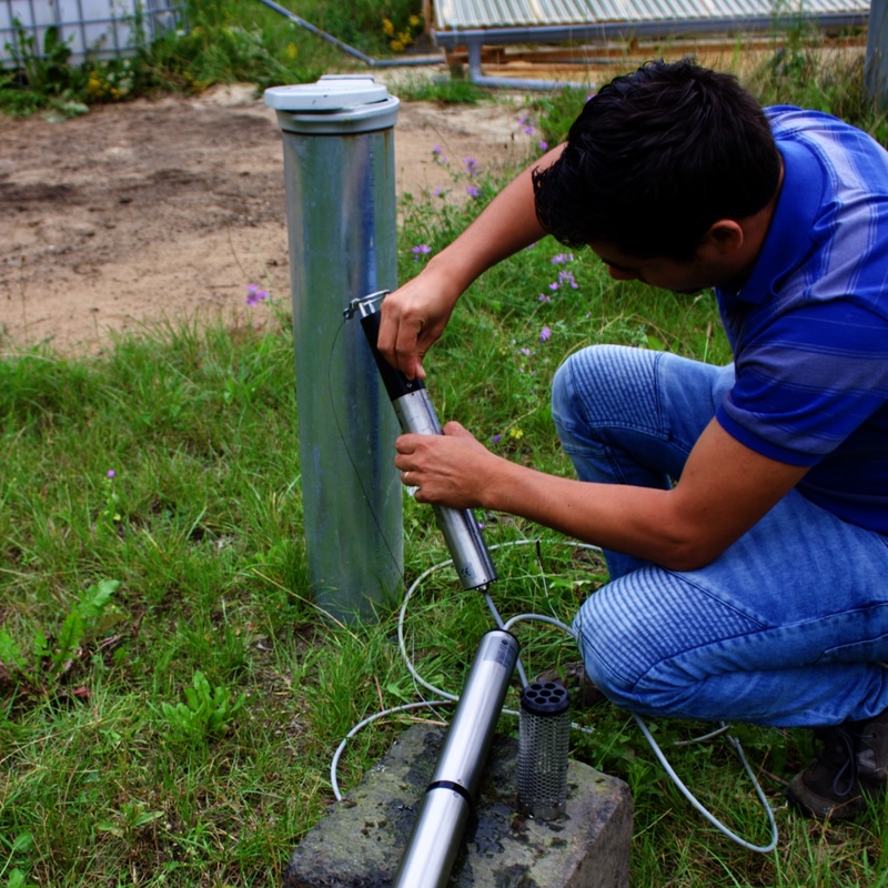
Explore digital tools supporting groundwater modelling, data visualisation and analysis, scenario evaluation, and innovative groundwater management research.

Education
Access interactive learning resources, training materials, and practical tools for groundwater teaching, capacity development and development of hydrogeological courses.
Collaboration
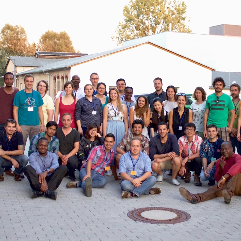
Connect with other researchers and groundwater professionals through shared data modelling platforms and collaborate on groundwater research and innovation.
Location
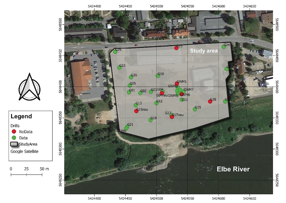
The site lies on TU Dresden’s external campus in Pirna-Copitz, Saxony, directly bordering the river Elbe, 20 km southeast of Dresden. The instrumented area covers ~2.5 ha (≈140 × 180 m) on a gentle terrace sloping from 119 to 111 m a.s.l. toward the river.
History
The site, established in 2008, is a densely instrumented test field with over 18 years of continuous monitoring.
Established in 2008 as a joint initiative of TU Dresden’s Institute of Groundwater Management and the Helmholtz Centre for Environmental Research (UFZ), the site has since grown through successive expansion into a densely instrumented test fields, with 18+ years of continuous monitoring.
See full timeline →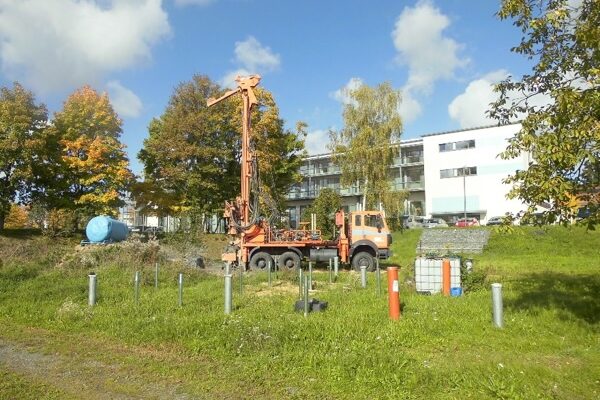
Subsurface characterisation
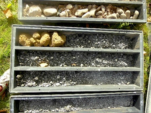
Hydrostratigraphic characteristics of the groundwater test field
Below an anthropogenic fill, conductive sands and gravels form the upper aquifer to ~16 m. A 50–60 m clayey-silty Cretaceous layer separates it from a deeper confined chalk aquifer. Groundwater level is about ~7 m bgl (ranging 4–10 m) and can move up to 2 m per hour.
Download data →Monitoring network
The site spans the full aquifer system, from shallow direct-push observation wells to pumping wells and a deep observation well into the Cretaceous.
| Type | No. | Depth | Screen | Ø | Purpose |
|---|---|---|---|---|---|
| Small-diameter, direct-push wells | 41 | 14 m | — | 1″ | Levels, flow field, tracer monitoring |
| Wells for multi-parameter probes | 7 | 14 m | 10-13 m | 5″ | Level, O₂, EC, pH; tracer & slug tests |
| Pumping wells | 2 | Full thickness | 10-14 m | 10″ | Pumping tests, recharge, bank filtration |
| Deep well (Cretaceous) | 1 | 55 m | 50-53 m | 5″ | Deep aquifer monitoring |
Equipment
Monitoring and field devices for hydrogeological research
Beyond the observation wells, the site is equipped for the full range of field hydrogeology: submersible and deep-well pumps (up to 100 m³/h), single- and multi-parameter probes (Solinst, UIT, HT-Hydrotechnik), packer and pneumatic slug-test systems, dataloggers, water-level meters, and samplers for conservative and reactive tracers.
Download data →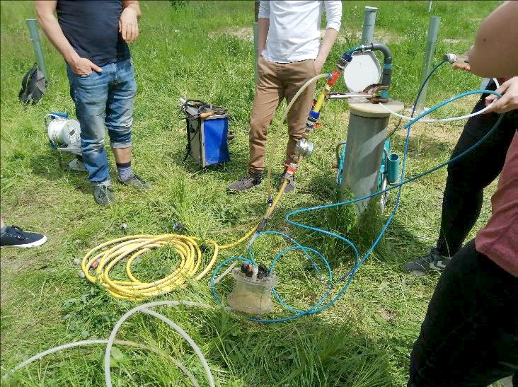

Meteorological station
Climate monitoring and groundwater response
An on-site weather station continuously records air temperature, solar radiation, relative humidity, precipitation, and wind speed and direction, linking rainfall directly to groundwater response.
See dashboard →52
Observation points
21
Bore profiles
18
sensors
5
IOT sensors
Publications
Publications resulted from research activities conducted at the TUD Groundwater Observatory
Glass, J., Junghanns, R., Schlick, R., & Stefan, C. (2022). The INOWAS platform: A web-based numerical groundwater modelling approach for groundwater management applications. Environmental Modelling & Software, 155, 105452. https://doi.org/10.1016/j.envsoft.2022.105452
Tritschler, F., Binder, M., Händel, F., Burghardt, D., Dietrich, P., & Liedl, R. (2020). Collected Rain Water as Cost‐Efficient Source for Aquifer Tracer Testing. Groundwater, 58(1), 125–131. https://doi.org/10.1111/gwat.12898
Binder, M., Tritschler, F., Burghardt, D., Klotzsch, S., Dietrich, P., Liedl, R., & Händel, F. (2019). Application of snowmelt as an active and inexpensive dual isotope groundwater tracer. Hydrogeology Journal, 27(1), 423–433. https://doi.org/10.1007/s10040-018-01917-6
Fichtner, T., Barquero, F., Sallwey, J., & Stefan, C. (2019). Assessing managed aquifer recharge processes under three physical model concepts. Water, 11(1), 107. https://doi.org/10.3390/w11010107
Barquero, F., Fichtner, T., & Stefan, C. (2019). Methods of In Situ Assessment of infiltration rate reduction in groundwater recharge basins. Water, 11(4), 784. https://doi.org/10.3390/w11040784
Sallwey, J., Glass, J., & Stefan, C. (2018). Utilizing unsaturated soil zone models for assessing managed aquifer recharge. Sustainable Water Resources Management, 4(2), 383–397. https://doi.org/10.1007/s40899-018-0214-z
Händel, F., Binder, M., Dietze, M., Liedl, R., & Dietrich, P. (2016). Experimental recharge by small-diameter wells: The Pirna, Saxony, case study. Environmental Earth Sciences, 75(10), 1–8. https://doi.org/10.1007/s12665-016-5701-7
Dietze, M., & Dietrich, P. (2012). Evaluation of vertical variations in hydraulic conductivity in unconsolidated Sediments. Ground Water, 50(3), 450–456. https://doi.org/10.1111/j.1745-6584.2011.00854.x
Want to learn more?
Take a virtual 360° tour and learn more about our field site, exploring different features and monitoring techniques